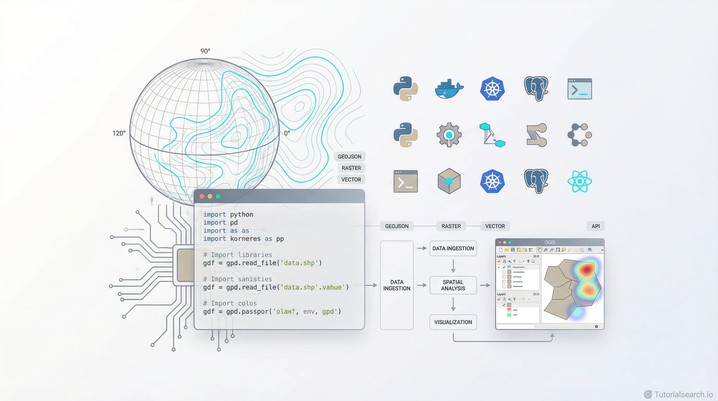
Master GIS Applications in 2026: Courses, Tools & Communities
Learn GIS applications with curated courses for every platform. Master mapping, spatial analysis, and data science with QGIS, Python, web-based tools, and more.
Want AI in your product? Hire the team behind TutorialSearch.io
LLM features, RAG, agents and automation wired into a real product — built by the devs who shipped this site.
GIS applications let you map the world, spot patterns humans miss, and make smarter decisions with location data. Whether you're analyzing urban sprawl, tracking environmental changes, or building location-based software, mastering GIS applications in 2026 opens doors to careers in urban planning, environmental science, logistics, and data science.
This guide walks you through the best GIS application courses, free tools, and learning resources. You'll find curated tutorials for every skill level and software platform—from beginner-friendly QGIS to enterprise ArcGIS Pro. Real organizations rely on these skills daily, and demand far exceeds supply in 2026. Top GIS specialists earn six-figure salaries while demand grows faster than education can supply talent.
Key Takeaways
- GIS applications combine mapping, spatial analysis, and decision-making to solve real-world problems affecting millions daily
- Python and web-based GIS applications dominate 2026's job market, replacing older desktop-only approaches
- Free tools like QGIS and Google Earth Engine offer capabilities rivaling expensive proprietary software costing thousands annually
- Learning spatial analysis and cartography unlocks careers across dozens of industries from tech to environmental science
- Hands-on project work in courses accelerates learning three times faster than passive tutorials alone
In This Article
- Best GIS Application Courses for Beginners & Pros
- Top Picks: Editors' Choice Selections
- Specialized GIS Platforms and Technologies
- Free Tools & Resources Worth Your Time
- YouTube Channels for Visual Learning
- GitHub Repositories & Open Source
- Books That Deepen Your Understanding
- Professional Communities & Networking
- GIS Platforms Compared
- Related Skills to Accelerate Growth
- FAQ: Learning GIS Applications
Best GIS Application Courses for Every Platform
The right course depends on your background and career goals. Choose based on your current skills: web developers benefit from web GIS; data analysts thrive with Python courses; geographers gain most from QGIS or ArcGIS Pro. Most professionals learn multiple platforms to remain competitive. A GIS analyst might start with QGIS, then add Python, then learn ArcGIS Pro when their employer requires it. Flexibility wins in this field.
Top Picks: Editors' Choice Selections
Introduction to web programming for GIS applications by Michael Miller teaches browser-based GIS without heavy software downloads. You'll master HTML, CSS, and JavaScript fundamentals before layering on Leaflet, an industry-standard mapping library. Miller's teaching breaks down complex concepts into digestible steps—perfect if you've never coded before. This course earns [Editors' Choice] for beginners wanting to ship interactive GIS applications within weeks. Students ship their first web map after just five hours of coursework.
Survey of python for GIS applications by Michael Miller covers Python's spatial powerhouses: Shapely for geometry, GeoPandas for dataframes with location, Rasterio for satellite imagery, and Fiona for file I/O. You'll analyze real geospatial datasets, automate tasks that would take hours manually, and process raster data from satellites. If your goal involves automation or data science, this course bridges fundamentals to production work. [Editors' Choice] for intermediate learners who code.
Server-side web GIS applications with Leaflet and PostGIS by Michael Miller digs into backend architecture—the plumbing behind fast, scalable maps. You'll combine PostGIS (a spatial database extension), Leaflet maps, and Node.js servers. Learn deployment patterns, database tuning for millions of features, and real-time data streaming. [Editors' Choice] for developers building production GIS platforms serving thousands of users daily.
Specialized GIS Application Courses
Google tools for GIS Applications by Michael Miller focuses on Google Earth Engine and Google Cloud's geospatial services. Process satellite imagery from Landsat and Sentinel, detect land-use changes across decades, and export analysis results. Google's free-tier tools dramatically lower barriers to advanced remote sensing—no expensive licenses needed. This democratization of satellite analysis is reshaping environmental science and urban planning.
Building Web GIS Apps with Java Spring Boot MVC and Leaflet by EBISYS R&D targets enterprise environments. If your organization standardizes on Java, this course teaches Spring Boot's scalability patterns alongside Leaflet's mapping power. You'll bridge GIS concepts with professional software architecture, preparing you for real enterprise deployments.
Spatial Analysis & Geospatial Data Science in Python covers statistical methods specific to location: spatial autocorrelation (whether nearby features are similar), point pattern analysis (clustering detection), kernel density estimation, and interpolation (predicting values at unmeasured locations). Work with real datasets. Learn when each technique applies—essential for environmental science, urban planning, and epidemiology.
The Complete Geospatial Data Science with Python Course bundles spatial analysis, remote sensing, and machine learning into one comprehensive package. Classify satellite imagery using deep learning, predict property values by location patterns, detect environmental change between satellite images years apart. Build a complete portfolio project from raw data to published insights. [Editors' Choice] for aspiring GIS data scientists entering competitive job markets.
WebGIS Application Development by GIS Simplified condenses web mapping fundamentals into accessible 4-5 hour lessons. Deploy interactive maps on the web, add real-time data feeds, customize visuals for different audiences. Ideal for professionals pivoting from other fields who want practical skills fast.
Introduction to Geospatial Data Analysis in Python starts from absolute zero: What's a coordinate system and why do they exist? Why do projections distort maps? What file formats store location data? Then load real datasets, perform spatial joins matching features by proximity, visualize results with Folium. This course respects that GIS has its own vocabulary—you won't feel lost.
Desktop GIS and QGIS Mastery
QGIS for Beginners #1: QGIS Orientation teaches QGIS from its interface foundations. Navigate layers, understand coordinate systems in practice, create your first meaningful map. QGIS is free, open-source, and runs on Windows, Mac, and Linux—ideal for students, nonprofits, and budget-conscious organizations worldwide.
Formation complète Qgis initiation is a comprehensive French-language QGIS course covering data import, symbology rules, analysis tools, and print layouts. If you're fluent in French, this offers exceptional depth for the price point.
Fundamentals of Spatial Analysis with Project and Assignment teaches concepts applicable across all GIS software: vector versus raster data distinction, topology rules, spatial relationships, analysis workflows. Culminates in a capstone applying these ideas to a real problem you choose—whether local environmental issues or career-relevant scenarios.
ArcGIS Pro - beginner, advanced and ArcPy by AulaGEO covers Esri's professional standard comprehensively. Master ArcGIS Pro's interface, geoprocessing tools, and Python automation through ArcPy scripting. If your target employer or client uses Esri products, this skill pays immediate career dividends.
Free Tools & Resources That Actually Work
Paid courses accelerate learning, but free resources handle 80% of real-world GIS work. These platforms have zero cost yet professional-grade capabilities competing with enterprise software.
QGIS Official Documentation provides a comprehensive "Gentle Introduction to GIS" that explains concepts before diving into software mechanics. The full documentation is dense but searchable—bookmark and reference it constantly during your learning journey.
QGIS.org is the official QGIS home. Download the software, work through built-in tutorials, and join the community. Many professionals use QGIS for production work—it rivals ArcGIS in spatial analysis capabilities without licensing costs or vendor lock-in.
ArcGIS Pro Getting Started has official guides from Esri. If your school or organization provides licenses, pair these documentation pages with hands-on practice for faster progress.
Coursera Fundamentals of GIS is a university-level free course taught by experienced GIS educators. Audit all material without cost—only certificates require payment. Covers theory and practice equally. Thousands enroll annually.
NASA Earth Data provides satellite imagery and analysis tools freely. NASA makes Earth observation data freely available to all—perfect for environmental applications, disaster response, and climate research projects.
Mango Maps Beginner's Guide explains GIS concepts in plain language without jargon. Useful for non-technical stakeholders or people completely new to mapping concepts.
YouTube Channels for Visual GIS Learning
Video learners benefit from seeing software in action. Watch someone solve a real problem step-by-step. These channels range from beginner tutorials to advanced geospatial science.
Geodelta Labs produces weekly tutorials on GeoPandas, OpenStreetMap, ArcGIS, and QGIS. Over 2 million views accumulated across growing channel reach. Topics span beginner to advanced; pacing respects learning curves rather than rushing.
GIScience Channel by Rochester Institute of Technology offers short beginner tutorials and hour-long research deep dives into disaster response. Brian Tomaszewski's teaching connects GIS to real problems affecting communities.
ARSET Trainings from NASA specializes in remote sensing applications: wildfire detection, urban heat islands, air quality monitoring. Videos in English and Spanish. Perfect if your work involves satellite data analysis.
Center for Geographic Analysis at Harvard maintains playlists of QGIS and ArcGIS tutorials. University-quality production focused on cartography, analysis, and research methodology.
Mapscaping Tutorials and Podcast blends video courses with interviews of working GIS professionals. Learn both software and career insights from people in the industry daily.
GitHub Repositories: Learn From Open Source
Want AI in your product? Hire the team behind TutorialSearch.io
LLM features, RAG, agents and automation wired into a real product — built by the devs who shipped this site.
Open-source GIS projects show real implementations and provide learning opportunities beyond courses. Reading production code teaches patterns, best practices, and real-world constraints.
awesome-gis by elasticlabs is a curated collection of GIS tools, libraries, and resources organized comprehensively. Discover tools you'd never find through Google searches alone.
awesome-gis by sshuair offers another perspective on GIS tools emphasizing practical software and active learning communities. Both repos complement each other—review both for comprehensive coverage.
Awesome-Geospatial by sacridini emphasizes libraries, tools, and data sources. Useful if you're building ETL pipelines or integrating multiple geospatial systems.
webgis-roadmap by jeafreezy provides a structured learning path for Web-GIS development. Outlines which skills matter most for building web-based GIS applications professionally.
Automating-GIS-processes by University of Helsinki teaches Python GIS automation through structured lessons. Work through example code, modify it, experiment—this is how professionals learn in practice.
Books That Deepen Your Understanding
Books excel at explaining concepts thoroughly. These titles combine theory with practical exercises you complete at your own pace without rushing.
Learning QGIS - Third Edition by Anita Graser is the gold standard for QGIS education. Graser is a QGIS core developer; her explanations are precise yet accessible. Covers installation, data import, spatial analysis, and publication-ready cartography.
GIS Tutorial for ArcGIS Pro 3.4 by Wilpen L. Gorr and Kristen S. Kurland teaches ArcGIS Pro through structured, hands-on exercises. Each chapter builds on prior concepts. Graduate from basic mapping to spatial analysis and geoprocessing.
A Gentle Introduction to GIS by James Sutton is available free online and explains fundamental GIS concepts using QGIS examples. Start here if you learn better from reading than videos.
Principles of Geographic Information Systems by Peter Burrough and Rachael McDonnell is the reference text for GIS theory. Explains why GIS works, not just how. Dense mathematics but transforms conceptual understanding profoundly.
GIS and Mapping for Social Change by Totman connects GIS to real community problems: environmental justice, disaster relief, equitable urban planning. Philosophical perspective paired with technical skill-building.
Professional Communities & Networking
Learning alone stalls progress. Communities accelerate growth through shared problems, solutions, and job opportunities unavailable through courses alone.
r/gis on Reddit is the largest GIS community online with thousands of professionals and students. Post your problems; get solutions within hours. Culture welcomes beginners; experienced people answer patiently and thoroughly.
GIS Discord Server has 7,500+ active members discussing tools, career advice, and portfolio projects. Real-time chat beats forum delays. Perfect for networking and immediate troubleshooting.
Esri Community connects ArcGIS users globally. If your career path involves Esri tools, this becomes your central hub for solutions and peer learning.
URISA (Urban and Regional Information Systems Association) is a professional membership organization for GIS professionals. Conferences, job board, and local chapters provide career acceleration and networking.
Women in GIS supports women and non-binary professionals in geospatial fields. Community, mentorship, and advocacy for underrepresented groups.
GIS Platforms Compared: When to Use Each
| Aspect | QGIS | ArcGIS Pro | Web-Based (Leaflet) | Google Earth Engine |
|---|---|---|---|---|
| Cost | Free | $680/year | Minimal (hosting) | Free tier available |
| Learning Curve | Moderate | Steep | Steep without web skills | Moderate to steep |
| Best For | Desktop analysis | Large orgs | Public interactive maps | Satellite analysis |
| Spatial Databases | PostGIS excellent | Enterprise GDB | Cloud databases | Native to GEE |
| Community Size | Large, growing | Largest, corporate | Large, fragmented | Rapidly growing |
| Automation | Python plugins | ArcPy scripting | JavaScript/Node | JavaScript/Python |
| Cartography | Excellent | Excellent | Good with CSS | Limited options |
| Real-Time Data | Limited support | Limited | Excellent native | Native support |
Choose based on your organization's budget, infrastructure, and problem types. Nonprofits standardize on QGIS. Fortune 500 companies use ArcGIS. Startups pick web-based solutions. Many professionals learn all four.
Related Skills Worth Learning Alongside GIS
GIS applications sit at the intersection of geography, computer science, and statistics. Deepening knowledge in adjacent areas multiplies your impact and marketability.
Data Visualization — GIS is visualization at its core. Learning dashboard design, color theory, and visual storytelling makes maps more persuasive to decision-makers.
Python Analysis — Python dominates GIS automation. Libraries like GeoPandas, Rasterio, and Shapely are Python packages. Fluency here unlocks advanced workflows.
Data Science Methods — GIS analysis combines with machine learning, clustering, and regression to predict location-based outcomes. Understanding these methods enables advanced career paths.
Power BI Analysis — Many organizations use Power BI dashboards. Adding location context requires GIS thinking.
Business Analytics — Location-based decision-making drives retail, logistics, and real estate. GIS multiplies business analytics value.
Data Engineering — Large GIS projects require pipelines. Data engineering skills prove essential at scale.
Frequently Asked Questions About Learning GIS
How long does it take to learn GIS applications proficiently?
Basic competency (creating maps, simple spatial analysis) takes 4-8 weeks of consistent study. Production-level skills (database design, automation, advanced analysis) require 6-12 months of deliberate practice. Timeline depends on your math background, coding experience, and daily hours invested. Someone with Python experience accelerates past fundamentals quickly.
Do I need a programming background to start learning GIS applications?
Absolutely not. Begin with QGIS or ArcGIS Pro for visual, click-based workflows. Once you're comfortable with spatial concepts, layer in Python or JavaScript gradually. Many GIS professionals began without coding; they learned both together. Start where you are.
Can I actually get a job with GIS applications skills?
Yes. Demand far exceeds supply in 2026. Urban planners, environmental consultants, real estate analysts, logistics companies, government agencies, and tech startups all hire GIS specialists. Web GIS developers command premium salaries. Remote work is common. Average US salary for GIS analysts is $62,000–$85,000; senior roles reach $120,000+ with specialized expertise.
What's the practical difference between GIS applications and remote sensing?
Remote sensing acquires data from satellites or drones; GIS analyzes it. A satellite photographs a forest; GIS interprets that photo to measure deforestation rates. They're complementary. Environmental professionals use both daily.
Should I learn ArcGIS Pro or QGIS first?
Start with QGIS if you're cost-conscious or a student—it's free and powerful. Start with ArcGIS Pro if your school provides it. Concepts transfer between platforms. Your first choice matters less than sustained practice.
How do GIS applications help with climate and environmental work?
GIS applications monitor environmental change: melting glaciers, deforestation rates, wetland loss, sea-level rise. Satellite data feeds GIS analysis. Climate models output spatial data analyzed in GIS. Environmental science increasingly depends on GIS skills.
What programming language matters most for GIS applications?
Python dominates GIS automation and data science. JavaScript is essential for web GIS. R is strong for statistical analysis. SQL is vital for database queries. Master Python first; other languages follow naturally.
Is GIS applications work actually remote-friendly?
Absolutely. Data and tools are digital; location-independence is built into workflows. Many GIS roles are remote or hybrid. Job boards list abundant remote GIS positions.
Your Path Forward: Start Today
GIS applications reward consistent practice. Choose one course matching your level. Complete it. Start working with real data—even small projects teach more than tutorials. Join r/gis on Reddit or the GIS Discord. Ask questions. Contribute.
Your journey begins with the first course. Pick one from this guide and start this week.